Mapping Security: NGA's Geospatial Intelligence Edge in Protecting America's Borders
Mapping Security: NGA's Geospatial Intelligence Edge in Protecting America's Borders

SPRINGFIELD, VA - A lone U.S. service member scans the horizon, dust devils dancing across the parched landscape. A seemingly ordinary scene, yet beneath the surface lies a complex web of illicit activity. Every year, billions of dollars’ worth of drugs, weapons and illicit goods flow across U.S. borders, alongside countless individuals smuggled into the United States. In fiscal year 2024 alone, U.S. Customs and Border Protection seized over 21,000 pounds of fentanyl a deadly synthetic opioid, demonstrating the sheer scale of the challenge.
United States security hinges on the vigilance and collaboration of numerous agencies. At the forefront of this mission, the Department of Homeland Security and Department of Defense tirelessly work to safeguard our borders. Behind the scenes, providing a critical, often unseen layer of support, is the National Geospatial-Intelligence Agency. NGA delivers world-class geospatial intelligence that empowers DHS and DOD to anticipate, detect and respond to threats along America's vast and varied borders.
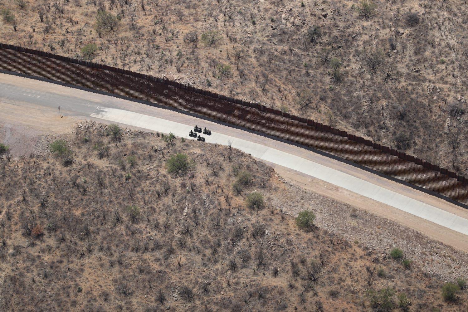
Securing the U.S. border is a complex undertaking, demanding a comprehensive understanding of the terrain, infrastructure and human activity that define the border region. Transnational criminal organizations exploit vulnerabilities in this landscape to smuggle drugs, weapons and people across the border. To effectively counter these threats, DHS and DOD require timely, accurate and actionable geospatial intelligence.

NGA leverages a diverse arsenal of GEOINT capabilities to support DHS and DOD in their border security missions. These capabilities include:
- Satellite Imagery and Analysis: NGA acquires and analyzes satellite imagery from commercial and government sources to monitor border areas for smuggling or other illicit activities. For example, NGA imagery contributes to detecting anomalous activity in remote areas or providing pattern of life analysis at suspect locations. Analysts can then use advanced image processing techniques to extract valuable information from satellite imagery, providing DHS and DOD with a clearer picture of the border environment.
- Aerial Photography and Mapping: NGA conducts aerial photography and mapping missions to create high-resolution maps and 3D models of border areas. These maps are used for a variety of purposes, including planning enforcement operations, supporting search and rescue efforts, and assessing the impact of infrastructure projects.
- Geospatial Data and Analysis: NGA maintains a vast database of geospatial data, including topographic information, transportation networks and demographic data. This data is used to create customized maps and analytical products that support DHS and DOD decision-making. NGA analysts use geospatial analysis techniques to identify patterns, trends and anomalies in the border environment, providing DHS and DOD with actionable intelligence.
- Maritime GEOINT: NGA provides maritime GEOINT to support DHS and DOD in securing U.S. maritime borders. This includes providing information on vessel traffic, maritime infrastructure and potential threats in coastal areas. NGA analysts use maritime domain awareness tools to identify potential smuggling activities.
As the threat landscape continues to evolve, NGA is committed to enhancing its GEOINT capabilities to meet the challenges of the future through artificial intelligence and machine learning, advanced sensors, cloud computing and unmanned systems. By leveraging our unique capabilities, fostering close collaboration with DHS and DOD, and investing in future technologies, NGA is committed to providing the GEOINT edge essential for protecting America's borders and ensuring the safety and security of the nation.