

NGA completes Arctic DEM project, producing elevation model maps of entire Arctic
Sept. 6, 2017
SPRINGFIELD, Va.
NGA Media Relations
publicaffairs@nga.mil
571-557-5450
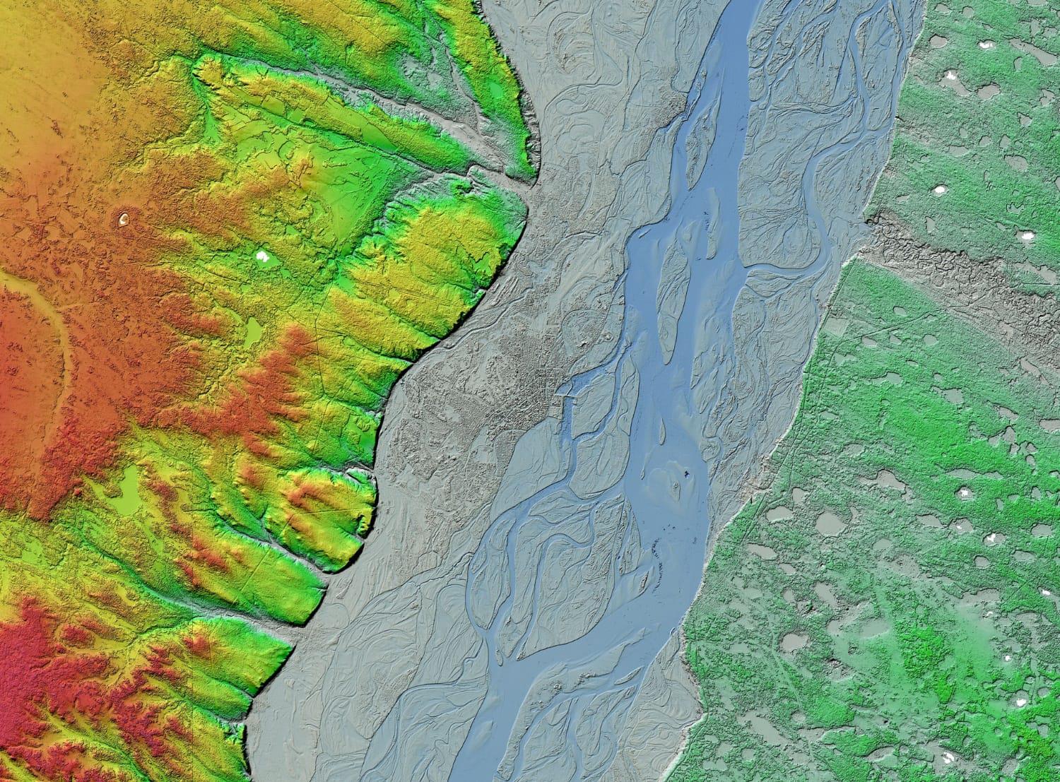
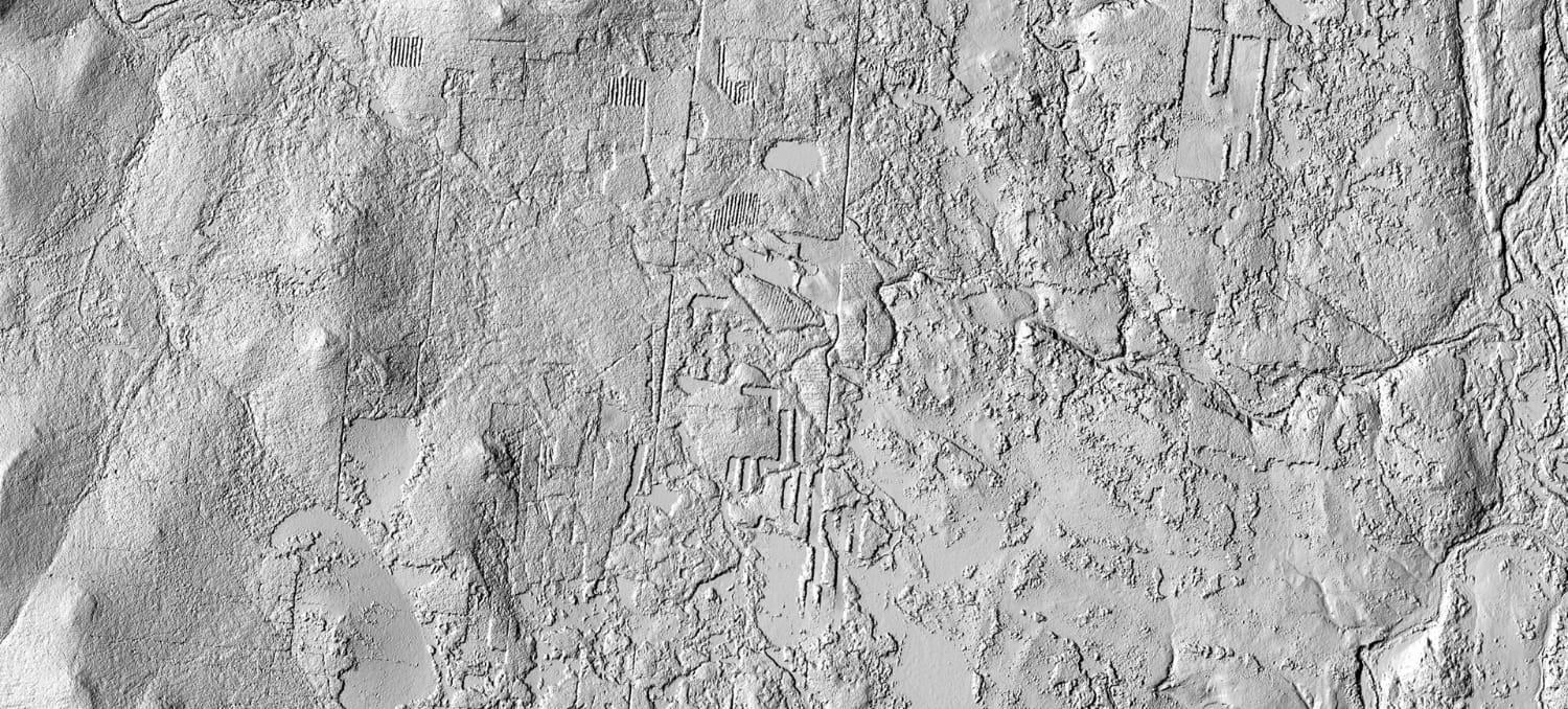

A team of scientists, cartographers and analysts from the National Geospatial-Intelligence Agency, the National Science Foundation, the University of Minnesota and Esri has completed mapping the entire Arctic as part of the two-year Arctic DEM Project and is scheduled to release the sixth iteration of 3-D digital elevation models Sept. 6.
A digital elevation model is a 3-D representation of a terrain’s surface, created from terrain elevation data. Analysis can be done on DEMs to determine or detect changes in topography over time. Arctic DEMs have been used to detect and quantify vegetation change and deforestation in Siberia; to study ice cap collapse and loss in Arctic Russia; to study river systems and drive-able roads in the Siberian forest; and to measure the tsunami water height after a recent earthquake and landslide hit a village in Greenland.
The team completed the Arctic DEM project on schedule, meeting the goal of producing high-resolution, high-quality models to create a comprehensive and consistent look at the Arctic for use by the government, academia and commercial industry for analysis and production.
"This is a very important and successful public-private collaboration. It makes open, high-resolution, satellite-based elevation data of Alaska and the entire Arctic available to inform policy and decisions in an increasingly critical part of the world," said Robert Cardillo, National Geospatial-Intelligence Agency director. "These models and this data provide greater context for the Arctic and will greatly assist a wide array of decision-making."
Additionally, Hyperion Research will present NGA, and its Arctic DEM partners, with the award for high computing user innovation at the HPC User Forum in Milwaukee Sept. 6. The HPC User Innovation Award is for innovation that results in increasing economic value, advancing scientific innovation and engineering and improving quality of life worldwide.
This presentation marks the first time a government, industry and academia partnership has been awarded for a joint project.
The NGA Arctic website connects users to the DEMs, open data, maps and more information on NGA’s Arctic support.