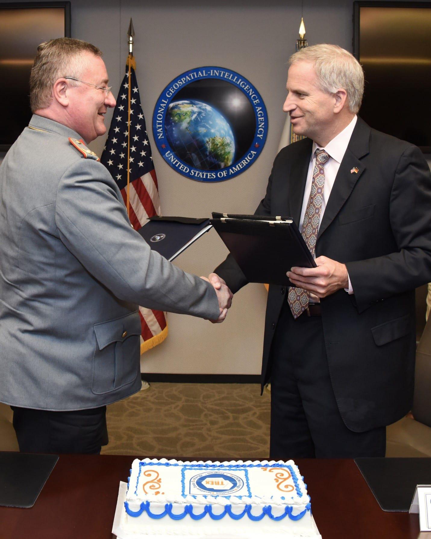
NGA, Germany’s Bundeswehr Geoinformation Centre sign geospatial data sharing agreement
National Geospatial-Intelligence Agency Director Robert Cardillo and German Bundeswehr Geoinformation Centre (BGIC) Director Brigadier General Roland Brunner signed the TanDEM-X High Resolution Elevation Data Exchange (TREx) Program Memorandum of Understanding (MOU) Dec. 14 to strengthen worldwide geospatial data-sharing partnerships and increase the accuracy and quality of NGA products and services. Geospatial organizations from more than thirty partner nations are expected to follow NGA and BGIC’s lead and join the TREx Program in 2016.
The TREx Program is a joint initiative to produce a global, homogenous Digital Elevation Model (DEM). As a participant in the program, partner nations will receive part of the raw DEM, custom editing software, training and support, and in return produce finished DEMs and earn access to the rest of the data.
Cardillo recognized the long-term effort of BGIC to bring this agreement to fruition. We thank you for the initiatives and the mental, monetary, research and political investment your country took to share data with the U.S., so that both countries can benefit, said Cardillo.
The end product from TREx is a DEM at 12-meter resolution that is accurate, homogeneous and global. “This data layer will surely serve to broaden the capabilities of the terrain analysis community but will also have a positive impact on numerous foundation data programs across NGA,” says Mark Sorum, NGA co-chairman for TREx.


