

As the demand for its products escalated early in World War II, the Army Map Service, a heritage organization of the National Geospatial-Intelligence Agency, was losing much of its largely male workforce to the armed forces. A solution to the urgent need for replacements emerged when the University of Chicago’s Geography Department developed a course in military map making and began offering it to women’s colleges in the East and Midwest.

Selected schools taught the 60-hour course, which was first offered in 1942. In its inaugural year, 200 women completed the course, said Bea McPherson, who participated in the program. As the program expanded to more colleges, the Army Map Service provided a four-week course that gave recruits further training. AMS leaders began assigning women graduates to various operations, depending on their aptitudes and interests.
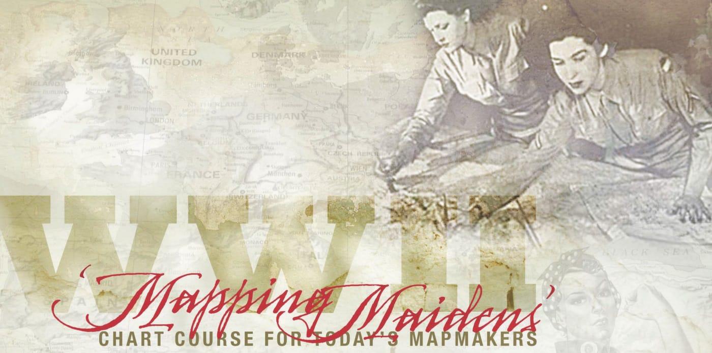
“The editor of the magazine, AMS Reference Point, soon coined the name ‘Military Mapping Maidens’ for (us),” said McPherson. “They called us the 3M’s, (and) we thought it was appropriate and rather cute.”
McPherson joined AMS in 1943 after graduating from Ohio’s Kent State University, she said.
She was assigned as a drafter and worked in Montgomery County, Md., at the Charles Ruth Building on MacArthur Boulevard. Because of the secret work done there, the building was camouflaged and isolated from other buildings there.
The 3M’s charted strategic locations, churches, schools, land contours, bodies of water and roads. They used foreign maps, aerial photos and other information to create the maps. Some were printed on silk and carried by troops as handkerchiefs and survival tools.
“I (helped) develop various maps for the Battle of the Bulge and initiatives in and around Fiume, Italy,” she said.
She traveled on orders to New York to deliver maps and to Ohio to recruit women from Kent State to work at AMS, she said. She received $6 a day for travel expenses.

The men at AMS treated the women with respect and as part of the team, said McPherson.
“The male employees knew that we answered Uncle Sam’s call to help fill war vacancies,” she said. “There were only two male drafting employees in the project drafting department. We all got along and they did social things with us. Some of the 3M’s dated male employees, and a few of my friends married them and were very happy.”
McPherson and the other 3M’s found time for softball, canoeing, horseback riding and Saturday afternoon tea dances, she said. They worked well together, though they came from various backgrounds and parts of the country.
“We were there for one common purpose — to make maps for our country’s war effort,” said McPherson, who resigned from AMS shortly after the war ended. McPherson donated her AMS papers to Kent State University. They are available here.
Mapping demand, pioneering spirit remain high among today’s cartographers
“Harry Truman, Doris Day, Red China, Johnnie Ray… moonshot, Woodstock, Watergate, punk rock,” as the Billy Joel song says, a lot has happened over the years in American culture. Among them is the national attitude toward women in the workplace.
When the call went out for women to become military cartographers during World War II — to fill the void left by male cartographers deployed to the various theaters around the globe — women like Bea McPherson responded in astounding numbers.
About 350,000 women joined the armed forces between 1942 and 1945, and the percentage of women making up the workforce in the aviation industry exploded from about 1 percent pre-war to 65 percent by war’s end, according to the History Channel’s website.
After the war, however, many women found themselves unemployed as men re-entered the workforce. Some women, though, weren’t content with being relegated to their “normal” domestic roles.
Those women, like many of the “Military Mapping Maidens,” a phrase coined for the women who entered military cartography during the war, continued to serve in the military and other federal agencies after the war. They pushed the limits of the accepted norms of the day, and their efforts paved the way for future generations of women in federal service — women like Nancy McDermott, a 28-year veteran cartographer.

“When I first started in Louisville in 1985, we used manual methods to produce our maps and the end product was negatives for printing,” said McDermott, who has a Bachelor of Science in meteorology and entered the federal hiring pool with hopes of working at the National Oceanographic and Atmospheric Administration.
In her time as a cartographer with the National Geospatial-Intelligence Agency and its predecessor agencies, maps have migrated from silk prints to personalized on-demand maps viewable on smartphone and computer screens, said McDermott, a New Jersey native who now lives in Maryland. And they continue to evolve and improve.
Mapmaking technology changes to keep up with map users. Today’s digital maps allow end users to motor through life following directions from a handheld device with GPS or a map, said McDermott. Digital technology has made the mapmaking process faster and more consistent.
“I doubt very many people use paper maps to figure out how to get somewhere,” said McDermott. “Most people have GPS, type in their destination and look to their device to tell them the directions. If you’re not using GPS, you probably use your computer or smart phone to look at a map.”
NGA’s “Map of the World” is a good example of that, she said. Instead of cartographers updating multiple charts and maps, the Map of the World allows for updates in a “one-feature, one-time” production environment.
Through on-demand access to foundation geospatial data, users can record observations of any given object in the data. The Map of the World will streamline updates to charts and increase the safety of navigation in the air and at sea.

The map does more than change the product, it changes how cartographers and other users of geospatial intelligence must think about “our content, customers, technology and acquisitions strategy — the entire system surrounding foundation GEOINT,” said former NGA Director Letitia A. Long, in a message to the workforce in April 2013.
Though a lot had changed between the time of the “Mapping Maidens” and when McDermott first made a map, much remained similar, said McDermott. She and World War II military cartographers, like Bea McPherson, shared a common workspace and common tools.
“I worked in the Ruth Building for several years and remember seeing photos of the building camouflaged,” said McDermott. “I also saw photos of cartographers of that era at work on light tables. My job is mainly quality control, and although I use a computer for my work, I also use a light table when I review maps. It is (still) the best method to get a good look at the finished product.”
The agency’s efforts to make geospatial data available to the users in whatever form they need also remains strong, said McDermott.
“There will always be the need for good data, whether (for) a database in support of digital (products) or traditional paper maps,” said McDermott. “Cartographers possess the knowledge needed to provide the data and to transform that data into usable maps.”
She and McPherson also share a fondness and pride for the time spent as cartographers. A moment that stands out for McDermott came on the heels of a different war, she said.
“After Desert Storm, Saddam Hussein attacked the Kurds in Northern Iraq,” said McDermott. “President (George H. W.) Bush initiated Operation Provide Comfort to shield the Kurds from further attack and to deliver humanitarian supplies. The military requested terrain analysis products over the area, and I was on the team that produced the hand-drafted overlays in six days. As soon as the overlays were completed, they were delivered to the military. We knew our work was important and was going to be used right away. That felt good.”
That feeling continues today, she said.
“I am proud to work in support of the military and to provide a service that is still needed,” said McDermott.