

Celebrating Black History Month: Meet Four Black American GEOINT Trailblazers
By NGA Office of Corporate Communications
In honor of Black History Month, NGA is recognizing Black American geospatial-intelligence trailblazers who helped show the way. The individuals listed below made lasting contributions to the GEOINT tradecraft and national security.

Benjamin Banneker
Benjamin Banneker, a self-educated mathematician and astronomer, assisted in surveying the original District of Columbia boundaries. As assistant surveyor in mapping our nation’s capital, Banneker’s contributions also included astronomical observations and monitoring the regulator, which helped determine latitude for the boundaries of Washington D.C.
Later in life, Banneker returned to his farm in Maryland, where he published a series of almanacs and traded letters with Thomas Jefferson on the issue of slavery. Banneker used his almanac as an extension of himself, to prove that Black people were just as capable as white people when given their freedom.
In case you didn’t know, NGA has a conference room named after Benjamin Banneker at its headquarters in Springfield, VA.

Gladys West
Dr. Gladys West, is primarily known for her contribution to the creation of the global positioning system, or GPS. Born in rural Virginia in the 1930’s, West attended high school where she graduated top of her class and went on to pursue higher education at a local university where she studied Math.
West received a job working at the Naval Surface Warfare Center collecting and analyzing data from satellites. From her analysis, she was able to identify the precise location of satellites. The information would go on to help develop GPS. She was one of the team’s so called “hidden figures,” whose mathematical expertise assisted the military in the era before the invention of electronic systems. In 2018, West was inducted into the Air Force Space and Missile Pioneers Hall of Fame.

William “Bill” J. Brown
Bill Brown is a mapping pioneer who went from paper boy to director of the Defense Mapping Agency Aerospace Center, a predecessor organization of NGA. Brown grew up in Kansas City, where he delivered newspapers, plucked chickens, and cleared tables at a local restaurant, to earn money, most of which went into a college savings account.
He attended Kansas State University where he earned his bachelor of science degree in mathematics. He was one of six Black American students out of a total student population of 25,000. Brown began his federal career in 1962, coming to the Aerospace Center when it was known as the U.S. Air Force Aeronautical Chart and Information Center. He rose from cartographer, to supervisor, to administrator, to eventually take DMA into the 21st century. Mr. Brown was the first Black director of the Defense Mapping Agency Aerospace Center in St. Louis. In 1992, he was awarded the Presidential Meritorious Executive Rank Award.
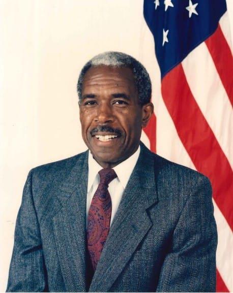
Paul L. Peeler Jr.
Paul Peeler was the first Black American to serve as the director of the Defense Mapping Agency Reston Center, an NGA predecessor organization. As director, Peeler was responsible for oversight of testing and approving the first all-digital production systems. He was instrumental in leading the transformation from manual production methods to digital production. Peeler started with the Army Map Service, predecessor to DMA, in 1961 as a geodesist, then went on to hold a number of prominent positions before his retirement in 1996.